
Gyland topographic map
Interactive map
Click on the map to display elevation.
About this map
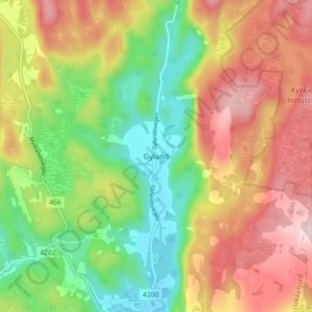
Name: Gyland topographic map, elevation, terrain.
Location: Gyland, Flekkefjord, Agder, 4436, Noorwegen (58.41029 6.81919 58.45029 6.85919)
Average elevation: 275 m
Minimum elevation: 114 m
Maximum elevation: 458 m
Other topographic maps
Click on a map to view its topography, its elevation and its terrain.
Ugelen
Noorwegen > Agder > Kristiansand
Ugelen, Kristiansand, Agder, 4625, Noorwegen
Average elevation: 4 m