
Ugelen topographic map
Interactive map
Click on the map to display elevation.
About this map
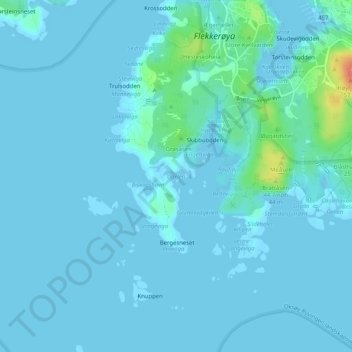
Name: Ugelen topographic map, elevation, terrain.
Location: Ugelen, Kristiansand, Agder, 4625, Noorwegen (58.06513 7.97108 58.06523 7.97118)
Average elevation: 4 m
Minimum elevation: -2 m
Maximum elevation: 43 m