
Elle topographic map
Interactive map
Click on the map to display elevation.
About this map
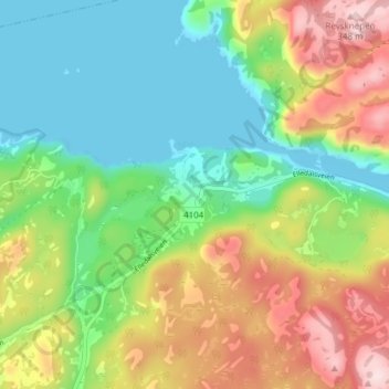
Name: Elle topographic map, elevation, terrain.
Location: Elle, Farsund, Agder, Noorwegen (58.15310 6.65786 58.19310 6.69786)
Average elevation: 125 m
Minimum elevation: -1 m
Maximum elevation: 333 m