
Arendal topographic map
Interactive map
Click on the map to display elevation.
About this map
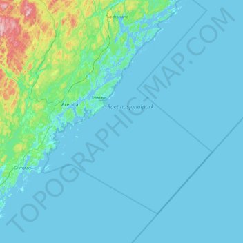
Name: Arendal topographic map, elevation, terrain.
Location: Arendal, Agder, Noorwegen (58.25027 8.49975 58.60353 9.36409)
Average elevation: 31 m
Minimum elevation: -2 m
Maximum elevation: 395 m
Other topographic maps
Click on a map to view its topography, its elevation and its terrain.
Ugelen
Noorwegen > Agder > Kristiansand
Ugelen, Kristiansand, Agder, 4625, Noorwegen
Average elevation: 4 m