
Lundane topographic map
Interactive map
Click on the map to display elevation.
About this map
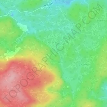
Name: Lundane topographic map, elevation, terrain.
Location: Lundane, Iveland, Agder, Noorwegen (58.41505 7.98588 58.41608 7.98787)
Average elevation: 297 m
Minimum elevation: 233 m
Maximum elevation: 389 m
Other topographic maps
Click on a map to view its topography, its elevation and its terrain.
Ugelen
Noorwegen > Agder > Kristiansand
Ugelen, Kristiansand, Agder, 4625, Noorwegen
Average elevation: 4 m