
Trysil topographic map
Interactive map
Click on the map to display elevation.
About this map
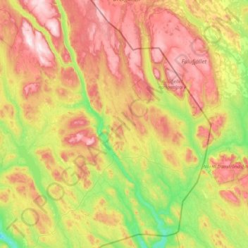
Name: Trysil topographic map, elevation, terrain.
Location: Trysil, Innlandet, Noorwegen (61.01308 11.73716 61.69914 12.87086)
Average elevation: 631 m
Minimum elevation: 282 m
Maximum elevation: 1,199 m
Other topographic maps
Click on a map to view its topography, its elevation and its terrain.
Feforvatnet
Feforvatnet, Nord-Fron, Innlandet, Noorwegen
Average elevation: 890 m
Balbergkampen
Balbergkampen, Lillehammer, Innlandet, 2624, Noorwegen
Average elevation: 447 m
Skeikampen
Skeikampen, Gausdal, Innlandet, 2652, Noorwegen
Average elevation: 918 m