
Snåsa topographic map
Interactive map
Click on the map to display elevation.
About this map
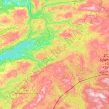
Name: Snåsa topographic map, elevation, terrain.
Location: Snåsa, Trøndelag, 7760, Noorwegen (63.95692 11.95539 64.43384 13.24803)
Average elevation: 488 m
Minimum elevation: 6 m
Maximum elevation: 1,207 m
Other topographic maps
Click on a map to view its topography, its elevation and its terrain.