
Evenstad topographic map
Interactive map
Click on the map to display elevation.
About this map
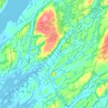
Name: Evenstad topographic map, elevation, terrain.
Location: Evenstad, Nærøysund, Trøndelag, Noorwegen (64.84380 11.10050 64.88380 11.14050)
Average elevation: 29 m
Minimum elevation: -6 m
Maximum elevation: 126 m
Other topographic maps
Click on a map to view its topography, its elevation and its terrain.