
Langberget topographic map
Interactive map
Click on the map to display elevation.
About this map
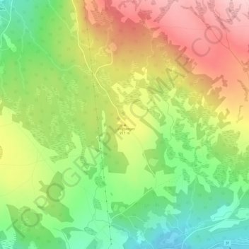
Name: Langberget topographic map, elevation, terrain.
Location: Langberget, Røros, Trøndelag, Noorwegen (62.61254 11.46423 62.61264 11.46433)
Average elevation: 792 m
Minimum elevation: 701 m
Maximum elevation: 891 m
Other topographic maps
Click on a map to view its topography, its elevation and its terrain.