
Inndalen topographic map
Interactive map
Click on the map to display elevation.
About this map
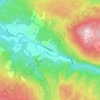
Name: Inndalen topographic map, elevation, terrain.
Location: Inndalen, Verdal, Trøndelag, Noorwegen (63.70920 11.76974 63.74920 11.80974)
Average elevation: 268 m
Minimum elevation: 143 m
Maximum elevation: 449 m
Other topographic maps
Click on a map to view its topography, its elevation and its terrain.