
Ålen topographic map
Interactive map
Click on the map to display elevation.
About this map
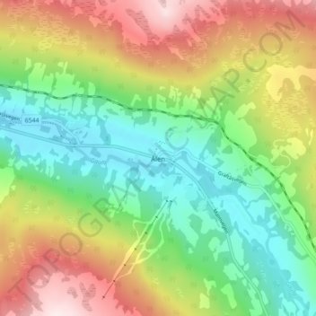
Name: Ålen topographic map, elevation, terrain.
Location: Ålen, Holtålen, Trøndelag, 7380, Noorwegen (62.82204 11.27863 62.86204 11.31863)
Average elevation: 539 m
Minimum elevation: 365 m
Maximum elevation: 799 m
Other topographic maps
Click on a map to view its topography, its elevation and its terrain.