
Ganes topographic map
Interactive map
Click on the map to display elevation.
About this map
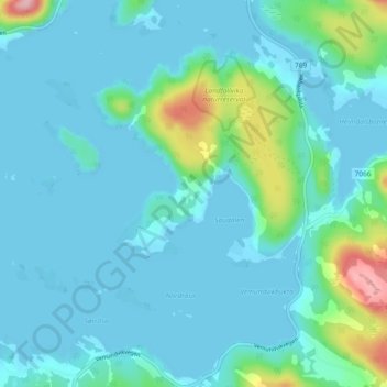
Name: Ganes topographic map, elevation, terrain.
Location: Ganes, Namsos, Trøndelag, 7810, Noorwegen (64.51302 11.49337 64.55302 11.53337)
Average elevation: 23 m
Minimum elevation: 0 m
Maximum elevation: 163 m
Other topographic maps
Click on a map to view its topography, its elevation and its terrain.