
Kvisla topographic map
Interactive map
Click on the map to display elevation.
About this map
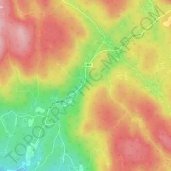
Name: Kvisla topographic map, elevation, terrain.
Location: Kvisla, Aurskog-Høland, Viken, Noorwegen (59.95799 11.60769 59.96082 11.61466)
Average elevation: 263 m
Minimum elevation: 169 m
Maximum elevation: 334 m
Other topographic maps
Click on a map to view its topography, its elevation and its terrain.