
Ballen topographic map
Interactive map
Click on the map to display elevation.
About this map
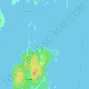
Name: Ballen topographic map, elevation, terrain.
Location: Ballen, Hvaler, Viken, Noorwegen (59.12016 11.13671 59.12060 11.13751)
Average elevation: 3 m
Minimum elevation: 0 m
Maximum elevation: 33 m
Other topographic maps
Click on a map to view its topography, its elevation and its terrain.