
Drolsum topographic map
Interactive map
Click on the map to display elevation.
About this map
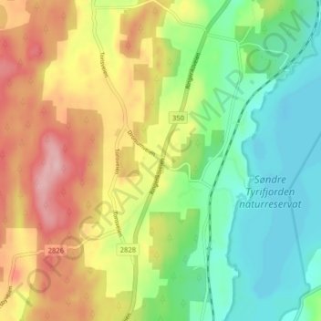
Name: Drolsum topographic map, elevation, terrain.
Location: Drolsum, Modum, Viken, 3370, Noorwegen (59.99733 9.99283 60.03733 10.03283)
Average elevation: 123 m
Minimum elevation: 55 m
Maximum elevation: 216 m
Other topographic maps
Click on a map to view its topography, its elevation and its terrain.