
Dabbahu topographic map
Interactive map
Click on the map to display elevation.
About this map
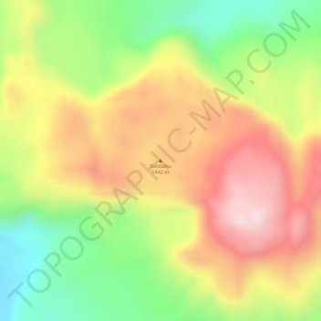
Name: Dabbahu topographic map, elevation, terrain.
Location: Dabbahu, Zone 4, Afar, Äthiopien (12.59923 40.47127 12.59933 40.47137)
Average elevation: 1,233 m
Minimum elevation: 1,030 m
Maximum elevation: 1,408 m
Other topographic maps
Click on a map to view its topography, its elevation and its terrain.