
Gabillema topographic map
Interactive map
Click on the map to display elevation.
About this map
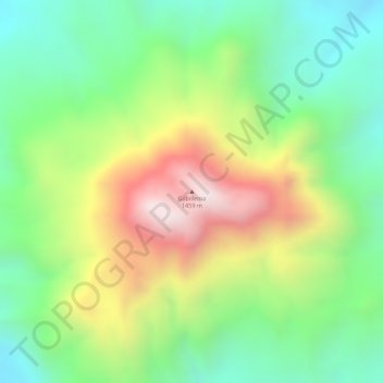
Name: Gabillema topographic map, elevation, terrain.
Location: Gabillema, Zone 1, Afar, Äthiopien (11.08438 41.26125 11.08448 41.26135)
Average elevation: 1,031 m
Minimum elevation: 749 m
Maximum elevation: 1,424 m
Other topographic maps
Click on a map to view its topography, its elevation and its terrain.