
Afar topographic map
Interactive map
Click on the map to display elevation.
About this map
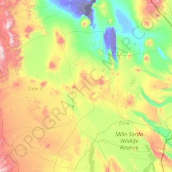
Name: Afar topographic map, elevation, terrain.
Location: Afar, Zone 1, Afar Region, Ethiopia (11.36243 39.87749 13.36243 41.87749)
Average elevation: 537 m
Minimum elevation: -114 m
Maximum elevation: 2,283 m
Other topographic maps
Click on a map to view its topography, its elevation and its terrain.