
Manda Hararo topographic map
Interactive map
Click on the map to display elevation.
About this map
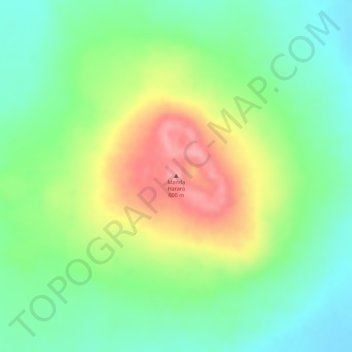
Name: Manda Hararo topographic map, elevation, terrain.
Location: Manda Hararo, Zone 1, Afar, Äthiopien (12.17082 40.81370 12.17092 40.81380)
Average elevation: 577 m
Minimum elevation: 530 m
Maximum elevation: 644 m
Other topographic maps
Click on a map to view its topography, its elevation and its terrain.