
Dalaffilla topographic map
Interactive map
Click on the map to display elevation.
About this map
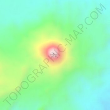
Name: Dalaffilla topographic map, elevation, terrain.
Location: Dalaffilla, Zone 2, Afar, Äthiopien (13.79190 40.55367 13.79200 40.55377)
Average elevation: 272 m
Minimum elevation: 122 m
Maximum elevation: 594 m
Other topographic maps
Click on a map to view its topography, its elevation and its terrain.