
Hayli Gubbi topographic map
Interactive map
Click on the map to display elevation.
About this map
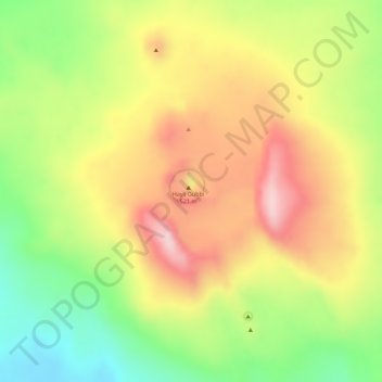
Name: Hayli Gubbi topographic map, elevation, terrain.
Location: Hayli Gubbi, Zone 2, Afar, Éthiopie (13.51066 40.71641 13.51076 40.71651)
Average elevation: 389 m
Minimum elevation: 252 m
Maximum elevation: 506 m
Other topographic maps
Click on a map to view its topography, its elevation and its terrain.
Yangudi Rassa National Park
Yangudi Rassa National Park, 18, Zone 3, Afar, Éthiopie
Average elevation: 622 m