
Dabbayra topographic map
Interactive map
Click on the map to display elevation.
About this map
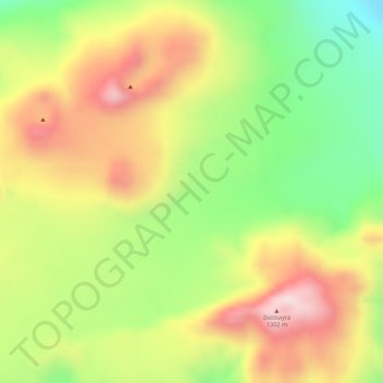
Name: Dabbayra topographic map, elevation, terrain.
Location: Dabbayra, Zone 4, Afar, Éthiopie (12.38677 40.05805 12.38687 40.05815)
Average elevation: 1,149 m
Minimum elevation: 957 m
Maximum elevation: 1,322 m
Other topographic maps
Click on a map to view its topography, its elevation and its terrain.
Yangudi Rassa National Park
Yangudi Rassa National Park, 18, Zone 3, Afar, Éthiopie
Average elevation: 622 m