
Afrera topographic map
Interactive map
Click on the map to display elevation.
About this map
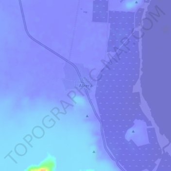
Name: Afrera topographic map, elevation, terrain.
Location: Afrera, Zone 2, Afar, Éthiopie (13.18729 40.84044 13.22729 40.88044)
Average elevation: -93 m
Minimum elevation: -116 m
Maximum elevation: 29 m