
Asavyo topographic map
Interactive map
Click on the map to display elevation.
About this map
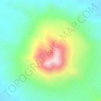
Name: Asavyo topographic map, elevation, terrain.
Location: Asavyo, Zone 2, Afar, Éthiopie (13.10013 41.59765 13.10023 41.59775)
Average elevation: 1,051 m
Minimum elevation: 891 m
Maximum elevation: 1,349 m
Other topographic maps
Click on a map to view its topography, its elevation and its terrain.
Yangudi Rassa National Park
Yangudi Rassa National Park, 18, Zone 3, Afar, Éthiopie
Average elevation: 622 m