
Peren topographic map
Interactive map
Click on the map to display elevation.
About this map
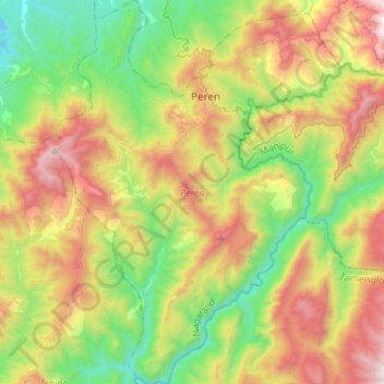
Name: Peren topographic map, elevation, terrain.
Location: Peren, Nagaland, 797101, Inde (25.35680 93.62935 25.60155 93.83041)
Average elevation: 1,030 m
Minimum elevation: 293 m
Maximum elevation: 2,197 m
Other topographic maps
Click on a map to view its topography, its elevation and its terrain.