
Chare topographic map
Interactive map
Click on the map to display elevation.
About this map
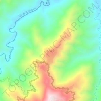
Name: Chare topographic map, elevation, terrain.
Location: Chare, Tuensang District, Tuensang, Nagaland, Inde (26.28367 94.59481 26.32367 94.63481)
Average elevation: 764 m
Minimum elevation: 484 m
Maximum elevation: 1,281 m