
Mount Urot topographic map
Interactive map
Click on the map to display elevation.
About this map
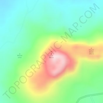
Name: Mount Urot topographic map, elevation, terrain.
Location: Mount Urot, Sulu, Zamboanga Peninsula, Philippines (5.98385 121.25835 5.98395 121.25845)
Average elevation: 185 m
Minimum elevation: 49 m
Maximum elevation: 411 m
Other topographic maps
Click on a map to view its topography, its elevation and its terrain.