
Thank you for supporting this site ❤️
Make a donation
Make a donation
Dammi Island topographic map
Click on the map to display elevation.
Thank you for supporting this site ❤️
Make a donation
Make a donation
About this map
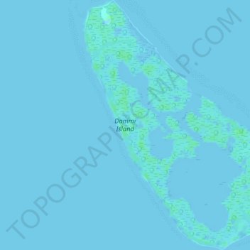
Name: Dammi Island topographic map, elevation, terrain.
Location: Dammi Island, Pangutaran, Sulu, Bangsamoro, Philippines (5.77333 120.39429 5.81215 120.42181)
Average elevation: 0 m
Minimum elevation: -5 m
Maximum elevation: 6 m
Thank you for supporting this site ❤️
Make a donation
Make a donation
Other topographic maps
Click on a map to view its topography, its elevation and its terrain.
Thank you for supporting this site ❤️
Make a donation
Make a donation
Thank you for supporting this site ❤️
Make a donation
Make a donation
Thank you for supporting this site ❤️
Make a donation
Make a donation
Thank you for supporting this site ❤️
Make a donation
Make a donation