
Thank you for supporting this site ❤️
Make a donation
Make a donation
New Knoxville topographic map
Click on the map to display elevation.
Thank you for supporting this site ❤️
Make a donation
Make a donation
About this map
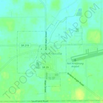
Name: New Knoxville topographic map, elevation, terrain.
Location: New Knoxville, Auglaize County, Ohio, 45871, United States (40.48506 -84.32660 40.50330 -84.30409)
Average elevation: 276 m
Minimum elevation: 269 m
Maximum elevation: 286 m
Thank you for supporting this site ❤️
Make a donation
Make a donation
Other topographic maps
Click on a map to view its topography, its elevation and its terrain.
Thank you for supporting this site ❤️
Make a donation
Make a donation
Thank you for supporting this site ❤️
Make a donation
Make a donation
Thank you for supporting this site ❤️
Make a donation
Make a donation