
Thank you for supporting this site ❤️
Make a donation
Make a donation
Villa Nova topographic map
Click on the map to display elevation.
Thank you for supporting this site ❤️
Make a donation
Make a donation
About this map
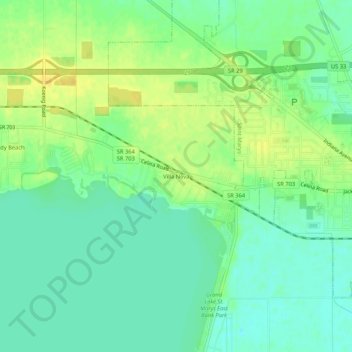
Name: Villa Nova topographic map, elevation, terrain.
Location: Villa Nova, Auglaize County, Ohio, 45885, United States (40.52533 -84.44467 40.56533 -84.40467)
Average elevation: 269 m
Minimum elevation: 258 m
Maximum elevation: 281 m
Thank you for supporting this site ❤️
Make a donation
Make a donation
Other topographic maps
Click on a map to view its topography, its elevation and its terrain.