
Thank you for supporting this site ❤️
Make a donation
Make a donation
New Hampshire topographic map
Click on the map to display elevation.
Thank you for supporting this site ❤️
Make a donation
Make a donation
About this map
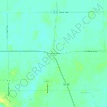
Name: New Hampshire topographic map, elevation, terrain.
Location: New Hampshire, Auglaize County, Ohio, 45870, United States (40.53616 -83.97272 40.57616 -83.93272)
Average elevation: 314 m
Minimum elevation: 307 m
Maximum elevation: 329 m
Thank you for supporting this site ❤️
Make a donation
Make a donation
Other topographic maps
Click on a map to view its topography, its elevation and its terrain.