
Chack topographic map
Interactive map
Click on the map to display elevation.
About this map
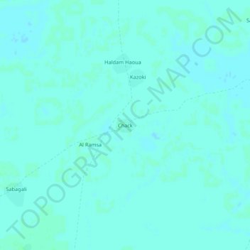
Name: Chack topographic map, elevation, terrain.
Location: Chack, Hadjer-Lamis, Tschad (12.75057 14.86016 12.79057 14.90016)
Average elevation: 288 m
Minimum elevation: 286 m
Maximum elevation: 290 m
Other topographic maps
Click on a map to view its topography, its elevation and its terrain.