
Kaoko topographic map
Interactive map
Click on the map to display elevation.
About this map
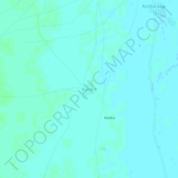
Name: Kaoko topographic map, elevation, terrain.
Location: Kaoko, Hadjer-Lamis, Tschad (12.44646 16.57004 12.48646 16.61004)
Average elevation: 295 m
Minimum elevation: 293 m
Maximum elevation: 298 m
Other topographic maps
Click on a map to view its topography, its elevation and its terrain.