
Ngoura نكورا topographic map
Interactive map
Click on the map to display elevation.
About this map
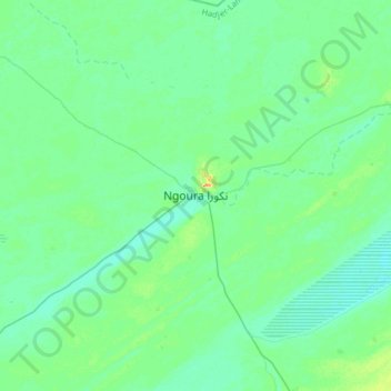
Name: Ngoura نكورا topographic map, elevation, terrain.
Location: Ngoura نكورا, Hadjer-Lamis, Tschad (12.71863 16.28972 13.03863 16.60972)
Average elevation: 290 m
Minimum elevation: 283 m
Maximum elevation: 314 m
Other topographic maps
Click on a map to view its topography, its elevation and its terrain.