
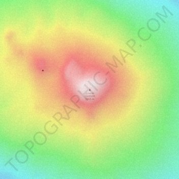
توسيدي Toussidé topographic map
Interactive map
Click on the map to display elevation.
About this map
Name: توسيدي Toussidé topographic map, elevation, terrain.
Location: توسيدي Toussidé, Tibesti تيبستي, Tschad (21.04027 16.47346 21.04037 16.47356)
Average elevation: 2,963 m
Minimum elevation: 2,619 m
Maximum elevation: 3,306 m
Other topographic maps
Click on a map to view its topography, its elevation and its terrain.