
Tarso Voon topographic map
Interactive map
Click on the map to display elevation.
About this map
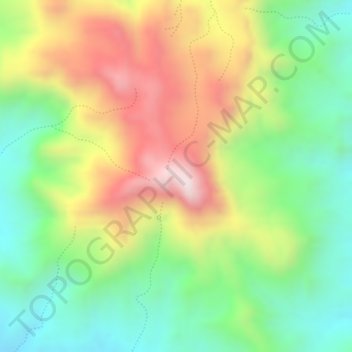
Name: Tarso Voon topographic map, elevation, terrain.
Location: Tarso Voon, Tibesti تيبستي, Tschad (20.91978 17.18471 20.91988 17.18481)
Average elevation: 2,545 m
Minimum elevation: 2,288 m
Maximum elevation: 2,860 m
Other topographic maps
Click on a map to view its topography, its elevation and its terrain.