
Vikan topographic map
Interactive map
Click on the map to display elevation.
About this map
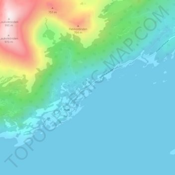
Name: Vikan topographic map, elevation, terrain.
Location: Vikan, Steigen, Nordland, Noorwegen (67.65202 14.93731 67.69202 14.97731)
Average elevation: 175 m
Minimum elevation: -2 m
Maximum elevation: 979 m
Other topographic maps
Click on a map to view its topography, its elevation and its terrain.