
Botn topographic map
Interactive map
Click on the map to display elevation.
About this map
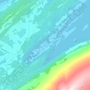
Name: Botn topographic map, elevation, terrain.
Location: Botn, Alstahaug, Nordland, 8800, Noorwegen (65.96517 12.58448 66.00517 12.62448)
Average elevation: 159 m
Minimum elevation: -5 m
Maximum elevation: 969 m