
Vega topographic map
Interactive map
Click on the map to display elevation.
About this map
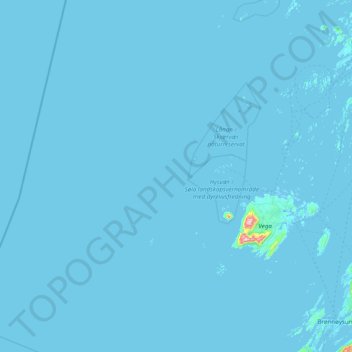
Name: Vega topographic map, elevation, terrain.
Location: Vega, Nordland, Noorwegen (65.48769 10.67497 65.99313 12.23998)
Average elevation: 2 m
Minimum elevation: -5 m
Maximum elevation: 770 m
Other topographic maps
Click on a map to view its topography, its elevation and its terrain.