
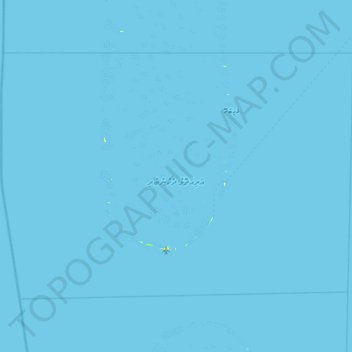
Ari Atholhu Dhekunuburi topographic map
Interactive map
Click on the map to display elevation.
About this map
Name: Ari Atholhu Dhekunuburi topographic map, elevation, terrain.
Location: Ari Atholhu Dhekunuburi, Maldives (3.37247 72.49697 3.87683 73.21826)
Average elevation: 0 m
Minimum elevation: 0 m
Maximum elevation: 13 m
Other topographic maps
Click on a map to view its topography, its elevation and its terrain.
Medhufaru
Maldives > Miladhunmadulu Dhekunuburi
Medhufaru, Miladhunmadulu Dhekunuburi, Maldives
Average elevation: 0 m
Southern Maalhosmadulhu Atoll
Southern Maalhosmadulhu Atoll, Sosun Magu, Baa, Maldives
Average elevation: 0 m