
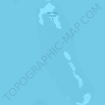
Fari Islands topographic map
Interactive map
Click on the map to display elevation.
About this map
Name: Fari Islands topographic map, elevation, terrain.
Location: Fari Islands, Malé Atoll, 20013, Maldives (4.59262 73.56766 4.63045 73.58664)
Average elevation: 0 m
Minimum elevation: 0 m
Maximum elevation: 0 m