
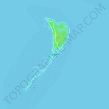
Villingili topographic map
Interactive map
Click on the map to display elevation.
About this map
Name: Villingili topographic map, elevation, terrain.
Location: Villingili, Addu, Maldives (-0.69026 73.18594 -0.67155 73.19752)
Average elevation: 0 m
Minimum elevation: 0 m
Maximum elevation: 13 m
The island is also notable for having the highest natural elevation in the Maldives, Mount Villingili. It stands at a modest 5.1 metres (17 ft) and is located at tee number eight on Villingili's Golf Course – the only golf course in the Maldives. The previously known highest point on Addu Atoll stands at only 2.4 metres (7 ft 10 in) above sea level.