
Langeli topographic map
Interactive map
Click on the map to display elevation.
About this map
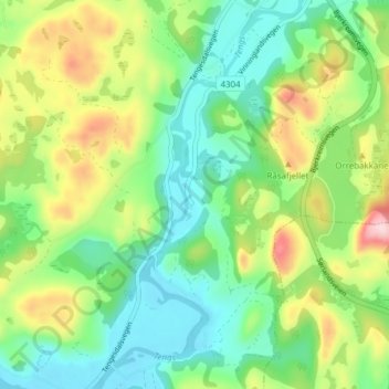
Name: Langeli topographic map, elevation, terrain.
Location: Langeli, Bjerkreim, Rogaland, 4387, Noorwegen (58.52591 6.02186 58.56591 6.06186)
Average elevation: 111 m
Minimum elevation: 23 m
Maximum elevation: 284 m
Other topographic maps
Click on a map to view its topography, its elevation and its terrain.