
Linkes Alxa-Banner topographic map
Interactive map
Click on the map to display elevation.
About this map
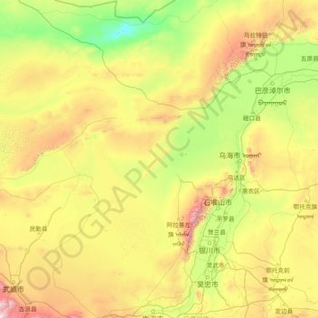
Name: Linkes Alxa-Banner topographic map, elevation, terrain.
Location: Linkes Alxa-Banner, Alxa-Bund, Innere Mongolei, China (37.40671 103.35989 41.88129 106.86059)
Average elevation: 1,331 m
Minimum elevation: 739 m
Maximum elevation: 4,039 m
Other topographic maps
Click on a map to view its topography, its elevation and its terrain.
Yakeshi
China > Innere Mongolei > Hulunbuir
Yakeshi, Hulunbuir, Innere Mongolei, China
Average elevation: 737 m