
Yakeshi topographic map
Interactive map
Click on the map to display elevation.
About this map
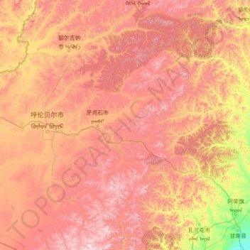
Name: Yakeshi topographic map, elevation, terrain.
Location: Yakeshi, Hulunbuir, Innere Mongolei, China (47.66079 120.45835 50.87154 122.49214)
Average elevation: 737 m
Minimum elevation: 161 m
Maximum elevation: 1,655 m