
Préfecture de Tottori topographic map
Interactive map
Click on the map to display elevation.
About this map
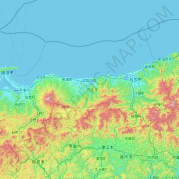
Name: Préfecture de Tottori topographic map, elevation, terrain.
Location: Préfecture de Tottori, Japon (35.05768 133.13588 35.80305 134.51541)
Average elevation: 239 m
Minimum elevation: -4 m
Maximum elevation: 1,605 m
Other topographic maps
Click on a map to view its topography, its elevation and its terrain.