
源河川 topographic map
Interactive map
Click on the map to display elevation.
About this map
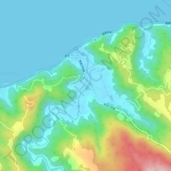
Name: 源河川 topographic map, elevation, terrain.
Location: 源河川, Nago, Préfecture d'Okinawa, 905-8540, Japon (26.63049 128.06304 26.63819 128.06523)
Average elevation: 57 m
Minimum elevation: 0 m
Maximum elevation: 216 m