
東北町 topographic map
Interactive map
Click on the map to display elevation.
About this map
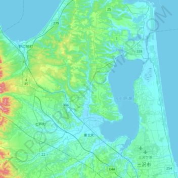
Name: 東北町 topographic map, elevation, terrain.
Location: 東北町, 上北郡, Préfecture d'Aomori, Japon (40.66450 141.00670 40.93162 141.36797)
Average elevation: 38 m
Minimum elevation: -3 m
Maximum elevation: 324 m