
Thank you for supporting this site ❤️
Make a donation
Make a donation
Morgan Mill topographic map
Click on the map to display elevation.
Thank you for supporting this site ❤️
Make a donation
Make a donation
About this map
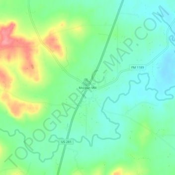
Name: Morgan Mill topographic map, elevation, terrain.
Location: Morgan Mill, Erath County, Texas, 76465, United States (32.36819 -98.18726 32.40819 -98.14726)
Average elevation: 330 m
Minimum elevation: 301 m
Maximum elevation: 391 m
Thank you for supporting this site ❤️
Make a donation
Make a donation
Other topographic maps
Click on a map to view its topography, its elevation and its terrain.