
Hazaribagh topographic map
Interactive map
Click on the map to display elevation.
About this map
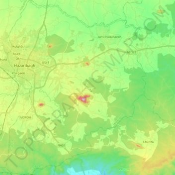
Name: Hazaribagh topographic map, elevation, terrain.
Location: Hazaribagh, Hazaribagh District, Jharkhand, India (23.86956 85.33852 24.06555 85.51033)
Average elevation: 582 m
Minimum elevation: 453 m
Maximum elevation: 841 m
Other topographic maps
Click on a map to view its topography, its elevation and its terrain.